Lost Aerial Photos Hidden From the Nazis Provide Rare Good News About Climate Change

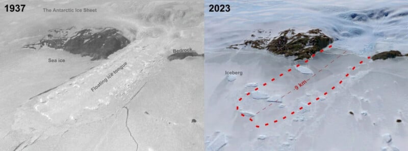
A forgotten set of aerial photos taken of East Antarctica has provided some rare good news about climate change showing that the glaciers there have stayed the same size and have even increased in some places.
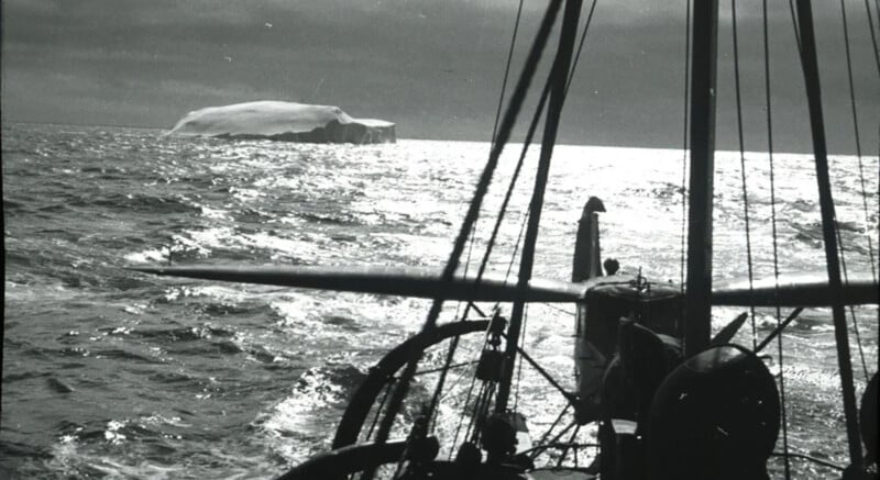
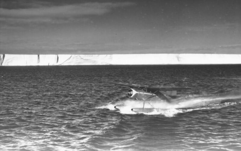
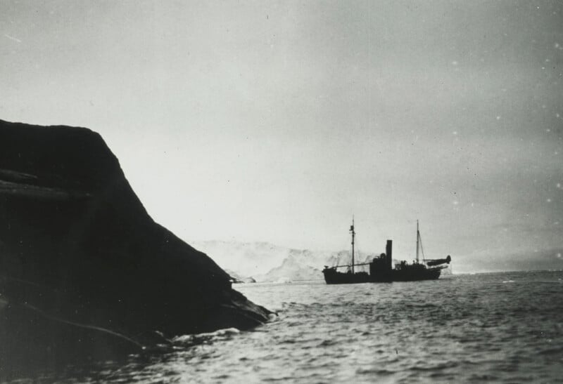
Sci Tech Daily reports that the photographs were taken in 1937 on a mission to produce the first maps of East Antarctica organized by Norweigan whaler Lars Christensen. However, the 1937 date is significant to why the images were forgotten about because the project was shelved after the Nazi invasion of Norway.

Since then, the black and white film photographs have been stored at the Norweigan Polar Institute in Tromsø until a team of researchers read about the expedition and realized the historic images could have scientific value.
PhD student Mads Dømgaard leads the team from the Department of Geosciences and Natural Resource Management at the University of Copenhagen and traveled to Tromsø where they reviewed 2,200 photos taken by the Norweigan whaling team and cross-referenced those with images taken of the same glaciers by an Australian survey in the latter part of the 20th century.
“Early observations of glaciers are extremely valuable as they give us a unique insight into how the ice has evolved through a varying climate and whether current changes in the ice exceed the glaciers’ normal cycle of advance and retreat,” explains the study’s first author Dømgaard.

Antarctic Anomaly
What the researchers found is a rare, positive anomaly when it comes to climate change: the photos show that ice in East Antarctica has been stable and has even grown slightly due to increased snowfall. The Danish scientists published their paper in Nature.
“We constantly hear about climate change and new melt records, so it’s refreshing to observe an area of glaciers that has remained stable for almost a century,” says Dømgaard.

However, Dømgaard and crew noted that there are changes in the sea ice that surrounds the glaciers and there is a potential for them shrinking in the future.
“Our results also indicate weakening sea ice conditions, making the glaciers’ floating ice tongues more vulnerable and unable to grow as large as seen in the early aerial images from 1937. We know from other parts of Antarctica that the ocean plays an extremely important role and drives the massive and increasing melt we see in e.g. West Antarctica,” says Dømgaard.
There is less known about the Antarctica glaciers than areas of the Arctic which is what makes the 1937 photos so valuable. Of the 2,200 photos, 130 were selected for analysis with the researchers combining them with modern satellite data to create 3D reconstructions.